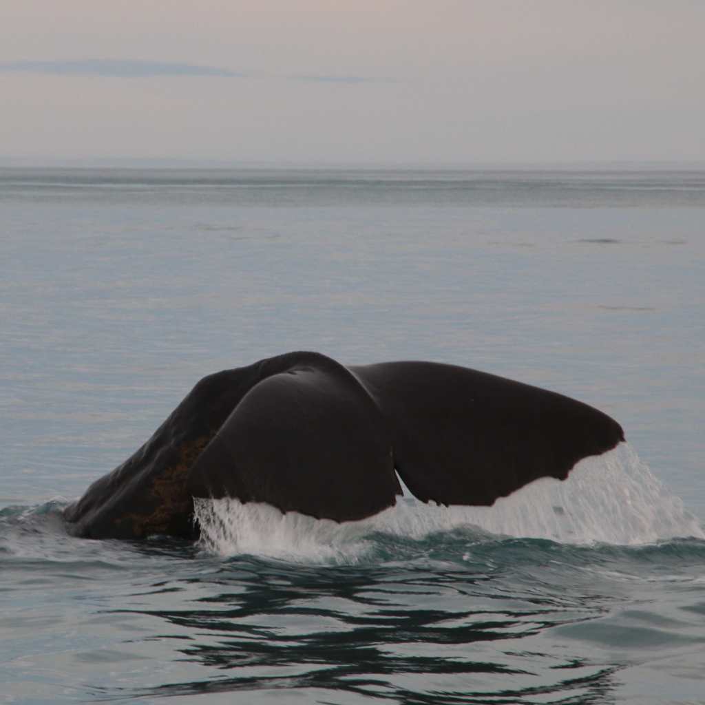
Whales are tricky to count. They might be big but they are often found far from shore, they range over huge areas and spend much of their lives underwater. This makes the task of finding and counting them quite a challenge; a challenge that must be faced multiple times if we’re to get an idea of whether their numbers are increasing or decreasing over time. This information is essential for assessing the conservation status, or likelihood of extinction, of a population. As recently as 2008, 38% of marine mammal species were classified as ‘data deficient’ by the International Union for Conservation of Nature, their conversation status unknown (Schipper et al. 2008).
Three of the main methods used to estimate the abundance of whales are line-transect surveys, mark-recapture studies and censuses.
Line-transect surveys are often large-scale and can involve multiple ships and/or planes covering huge swathes of ocean. The survey platform (generally a ship or plane) travels along carefully designed transect lines with observers keeping watch and recording the distance from the transect line to every whale they see. The technique utilises distance sampling theory and assumes that all whales on the trackline (the path of the vessel) will be seen, whilst those further away are less likely to be spotted.
However, there are a number of complicating factors. Whales on the trackline may be beneath the surface at the time of the survey and will not be available for detection. Further analysis and knowledge of the species’ dive behaviour is needed to correct for this ‘availability bias’. Another issue, ‘perception bias’, arises when the whales are available for detection but are not seen because of poor sighting conditions or observer fatigue. Also, it’s not just the whales’ distance from the trackline that will affect whether they are seen or not. Conspicuous behaviours such as breaching will make distant whales easier to spot, and whales travelling in groups may be more likely to be seen than whales travelling alone. Many of these factors can be incorporated into the survey design or statistical analysis, ultimately resulting in an estimate of the number, or density, of whales within the study area at the time of the survey. Repeating surveys of the same area over time will indicate whether the number of whales in that area is increasing or decreasing.

A further benefit of line-transect surveys is that you can map the areas where the most whales were seen and relate these areas to environmental measures such as water temperature, depth, seabed gradient and distance from shore. Considering how these important areas overlap with areas of high human activity, or proposed activities, can be informative.
Although line transect surveys have been used to estimate the abundance and distribution of gray whales in the western (e.g. Meier et al. 2007) and eastern North Pacific (e.g. Brower et al. 2017 and the Collaborative Large Whale Survey), the annual stock assessment report produced by NOAA Fisheries uses the results of systematic shore-based counts of migrating whales when reporting the abundance of the eastern North Pacific population.
Further information
A great introductory distance sampling training workshop is available online for free. The course covers distance sampling design, analysis and interpretation. https://workshops.distancesampling.org/online-course/
